Destination guide
What and where is the Ustyurt Plateau?
The Ustyurt Plateau is a vast arid plateau shared by Kazakhstan, Uzbekistan, and Turkmenistan, between the Caspian and Mangyshlak side in the west and the Aral Sea and Amu Darya side in the east. It is often described as roughly the size of Iceland and South Korea combined, which is why a traveler only sees a small part of it on one Mangystau trip.
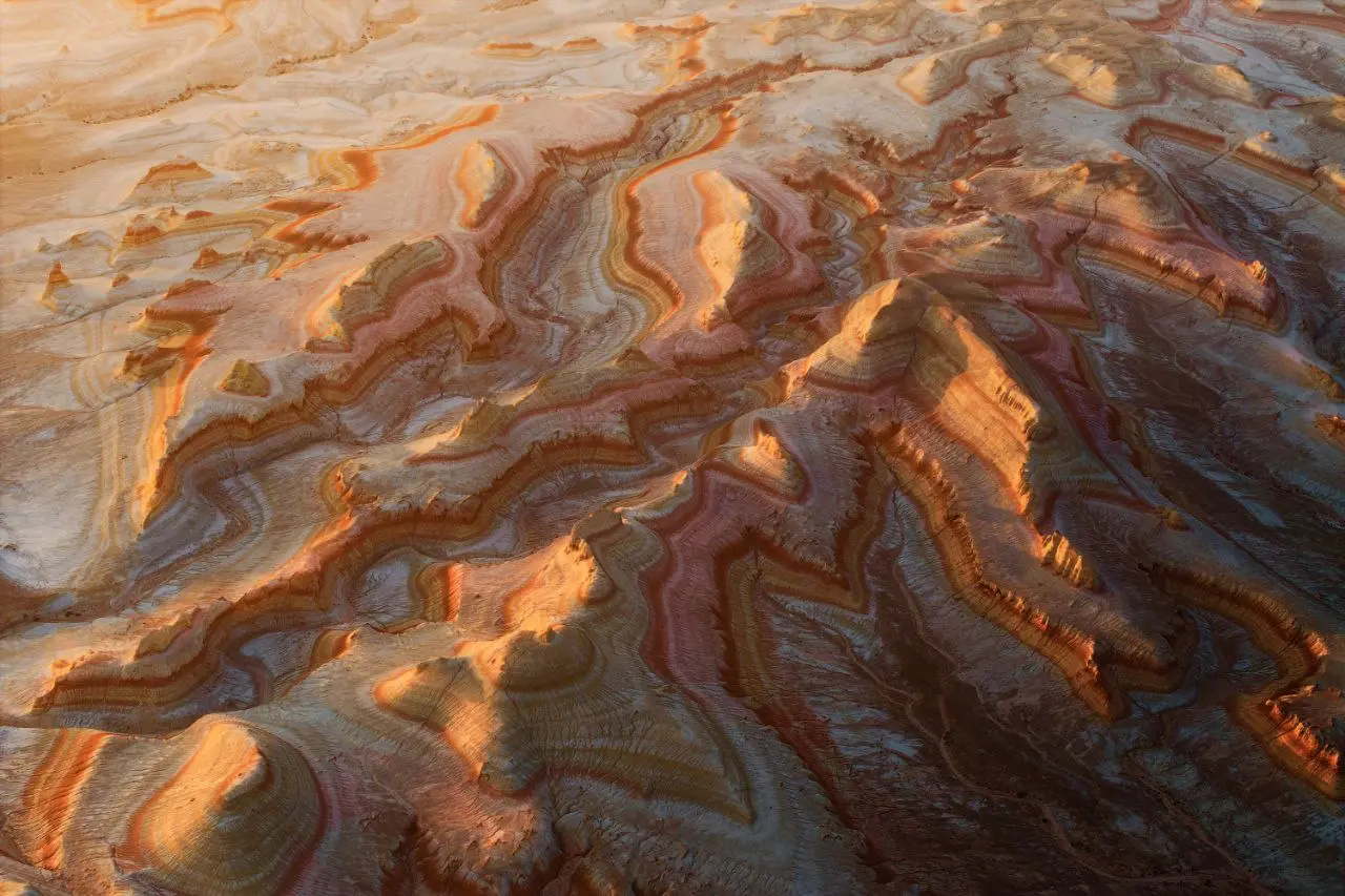
The dramatic edge of the plateau is called the chink: a stepped escarpment of limestone and chalk cliffs that can be several hundred meters high, tinted white, pale pink, blue, and gray. The Ustyurt Plateau is the geological stage for places such as Bozzhyra and Tuzbair.
Ustyurt travel is about scale and silence. There are no rivers or freshwater lakes, only groundwater, and annual precipitation is around 120 mm. Summer can go above 40°C and winter can fall toward -40°C. On a 4x4 crossing, the practical feeling is simple: no shops, no shade, often no signal, and long gaps where the road is a track rather than a road.