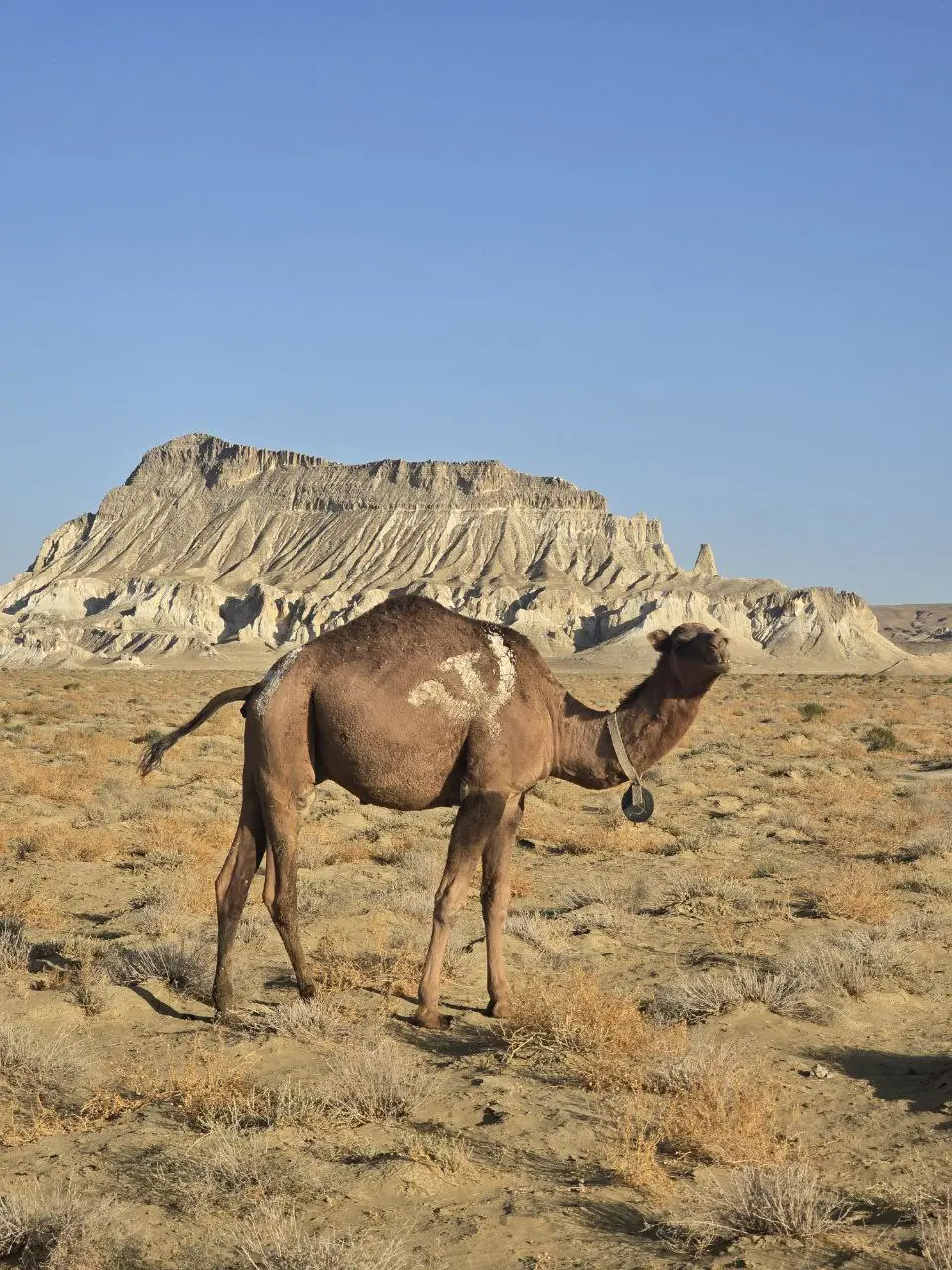
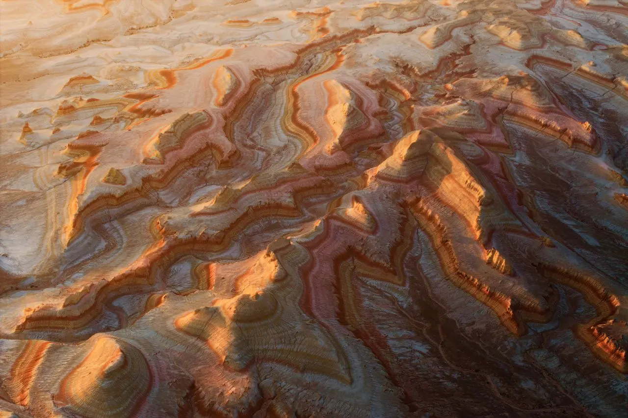
Sherkala Mountain rising above the Mangystau plain with tour vehicles nearby

Sherkala MountainLion Fortress of Mangystau4x4 Visitor Guide

How to see the lion, yurt, and Silk Road context without overpromising the climb

Sherkala is an isolated dome-shaped mountain near Shetpe, known as Lion Fortress because its shape changes from a white yurt to a crouching lion.

Destination guide

Why Sherkala matters

Sherkala is one of the easiest Mangystau landmarks to remember because it changes shape as you move around it. From one angle it looks like a white yurt. From another it becomes a crouching or sleeping lion, which explains the name: Lion Fortress, from Persian roots. Some travelers also compare it to a Martian Sphinx.

The mountain is built of clay, chalk, limestone, and sandstone. Its summit is about 332 meters above sea level, and the mountain rises roughly 307 meters above the surrounding plain. It is about 1,000 meters long and 650 meters wide, so walking the base can take around an hour when conditions and group pace allow.

Sherkala sits near Shetpe, about 180 km from Aktau by road, roughly a 3-hour drive, and about 18 km from Shetpe. A 4x4 is needed to reach the base. The mountain is also close to Torysh, the Valley of Balls, and the medieval Silk Road settlement ruins of Kyzylkala, founded in 1138.
Written by Sergey Khachatryan, local Mangystau guide

Sergey has explored Mangystau routes since 2000, first as a hobby and now as a way to share the region with travelers. His route planning focuses on realistic driving times, safe 4x4 access, weather, and the best light for each place.

Sergey’s field note

Sergey recalls:

Sherkala changes shape as you move around it. From one side it looks like a yurt, or an upside-down bowl; from another it is heavier, like a fortress. If you want to see the lion, you have to look from the western side, from a lower angle, when the mountain stretches out and the head and the back become clear.

Then the name makes sense. I never show it too quickly. Some places you stop, take a photo and leave; Sherkala is better if you drive around it a little. Every ten minutes the guests say, "Now it looks different."

Sergey Khachatryan, local Mangystau guide
Sergey Khachatryan, local Mangystau guide.
Sherkala Mountain seen from the plain near Shetpe with 4x4 vehicles
From one side Sherkala reads like a white yurt; from another it becomes the Lion Fortress.
Torysh stone spheres near Sherkala on a northern Mangystau route
Sherkala pairs naturally with Torysh because the route zone is close.
Bokty mountain landscape showing isolated Mangystau massif route scenery
Isolated mountains are a repeated theme in Mangystau route planning.

Route experience

How to visit Sherkala

Sherkala is a shape-shifting landmark, so the best visit includes movement around it rather than one stop from the road.

01

Choose the angle first

The lion shape is not visible from every side. A good driver changes position so guests can understand both the yurt-like dome and the crouching-lion profile.

02

Walk the base, not the summit

The steep south and east faces are not casual hiking terrain. The summit should not be promised without climbing gear and proper preparation; for most travelers, walking near the base is the right experience.

03

Use low light on white rock

Sunrise and sunset make the white and pale layers warmer and more three-dimensional. Midday is possible, but the mountain can look flatter and the heat around the plain is stronger.

04

Add nearby history

The Sherkala reference notes the fortress meaning and links with nearby ruins. Kyzylkala adds Silk Road context to a stop that otherwise looks purely natural.

Good to know

  • Use a 4x4 for the final access to the base.
  • Do not promise summit access as a normal tourist walk.
  • Carry water and sun protection; shade is limited around the mountain.
  • Combine with Torysh for a stronger northern route from Aktau.
  • Wind can be strong on open ground, especially near exposed viewpoints.

How it fits a route

Sherkala is a strong stop in a tour from Aktau because it gives a memorable landmark within a shorter northern route. It also belongs naturally in Mangystau 4x4 tours that include Torysh, Shakpak-Ata when possible, and desert viewpoints.

For a full regional route, combine Sherkala with Bozzhyra, Tuzbair, and Ustyurt on a longer itinerary.

FAQ

Sherkala Mountain FAQ

Planning answers before adding Sherkala to your route.

What does Sherkala mean?

Sherkala means Lion Fortress. The name fits the way the mountain can look like a crouching or sleeping lion from certain angles.

Can you climb Sherkala?

The summit is not a normal tourist walk and should not be attempted without climbing gear and proper preparation. Most travelers walk around the base and viewpoints.

How far is Sherkala from Aktau?

It is about 180 km by road from Aktau, roughly 3 hours depending on stops and access conditions.

What should Sherkala be combined with?

The easiest pairing is Torysh, the Valley of Balls. Longer routes can add Bozzhyra, Tuzbair, and Ustyurt viewpoints.

Plan Sherkala

Use Sherkala as the anchor of a northern route

Sherkala works well with Torysh and other stops near Shetpe. See our 4x4 tour page, then message us for a tailored quote based on your dates and available time from Aktau.

Message for Quote