Geological guide
Dimensions, Lake Batyr, and how Karagiye formed
Historically named Batyr (“Warrior”), this 40–85 km karst trench plunges down to −132–134 m below global sea level right between Aktau, Zhanaozen, and the road to Senek and Bozzhyra.
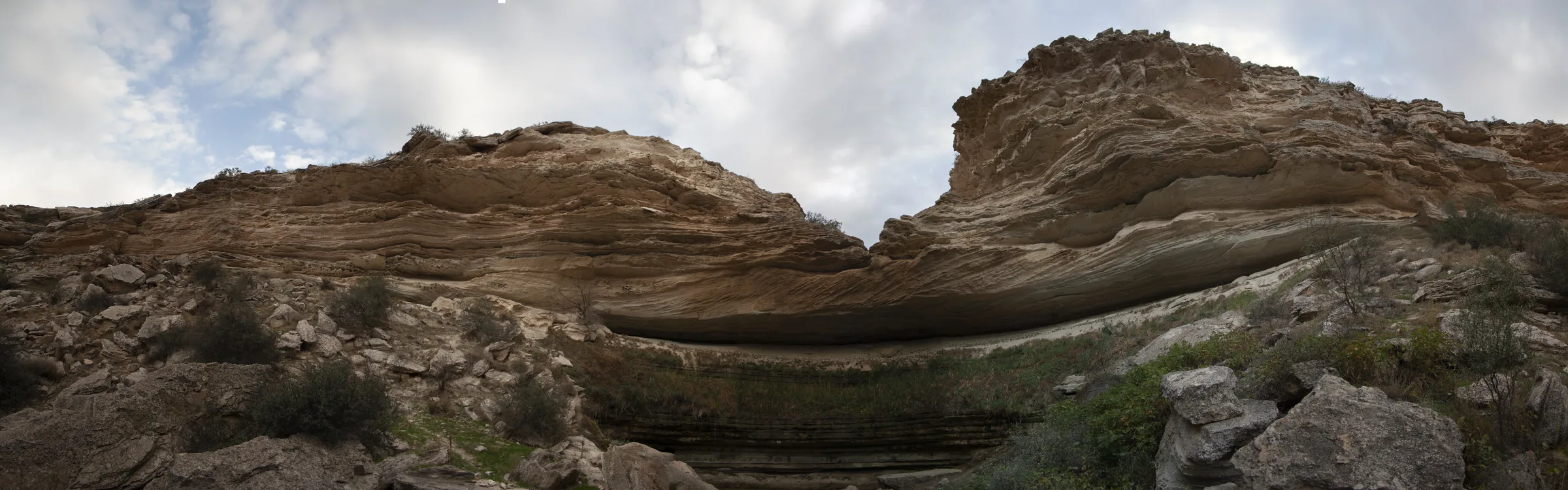
Just 50 kilometers east/southeast of Aktau, Mangystau’s coastal plateau tears open into a steep limestone abyss descending all the way to −132 to −134 meters below global sea level. Measuring roughly 40–85 kilometers long and 15–25 kilometers wide, the Karagiye Depression is the lowest land elevation in Kazakhstan and Central Asia—and among the five deepest dry terrestrial basins in the world.
In Kazakh, Karagiye loosely means “black slope” or “black maw,” while its older name—Batyr (“Warrior”)—lives on in Lake Batyr (Batyr Sor), the intermittent salt pan shimmering across the bottom floor. Geologists explain Karagiye as a massive karst-subsidence trough: as ancient Caspian Sea levels fluctuated nearby, groundwater dissolved thick subterranean layers of gypsum, limestone, and rock salt beneath the steppe, causing giant sinkhole ceilings to collapse and merge over time.
One curious phenomenon travelers notice is Karagiye’s localized microclimate. Because the vast trench sits so deeply below neighboring elevations near the Caspian Sea, rising thermal drafts and basin moisture sometimes spin isolated rain clouds directly inside the bowl while surrounding desert plateaus bake under cloudless blue skies.
Geographically, Karagiye anchors the main southern gateway out of Aktau: travelers skirt or cross its dramatic rim on both a fast 1-day excursion and the closing afternoon leg of 5-day, 7-day, and 8-day expeditions returning from Senek Sand Dunes, Kyzylkup, and Bozzhyra.