
Destination guide
What Bozzhyra is really like
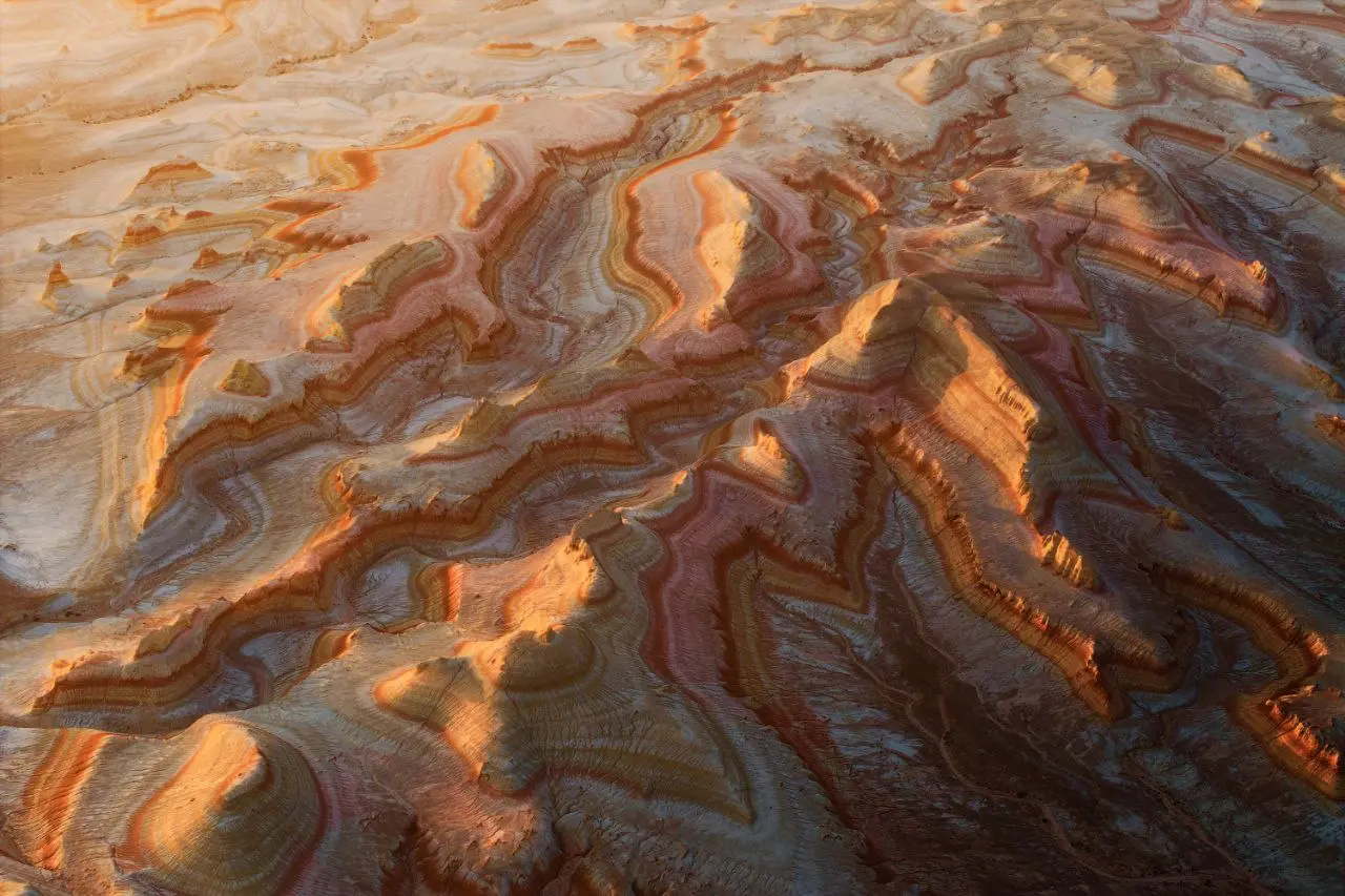
Bozzhyra is the place most travelers imagine when they start researching Mangystau: pale limestone and chalk cliffs, free-standing island mountains, and the two sharp towers known as the Fangs of Bozzhyra. The name is often explained from Kazakh as a gray ravine or gray-blue hollow, which fits the way the valley changes from white to silver, blue, and warm gold depending on the sun.
Geologically, Bozzhyra sits on the western edge of the Ustyurt Plateau, an area once connected with the ancient Tethys Ocean. Shells, shark teeth, and other marine fossils in the rock are part of the reason this place feels so unusual: you are standing in a desert that was once seabed. The cliffs rise around 200 meters from the canyon floor, with some descriptions giving heights up to about 250 meters.
For route planning, the important fact is distance and terrain. Bozzhyra is about 270 km east of Aktau and usually takes 4-5 hours to reach. Most of the road via Zhanaozen and Uzen is good asphalt, but the final roughly 5 km is unpaved. Moving between the three main viewpoints adds about 60 km of dirt tracks and a steep descent, so a real 4x4 and a driver who knows the route are not optional.