Sor Tuzbair salt flat mirror landscape below white cliffs in Mangystau

Tuzbair Salt LakeMirror Flat and White CliffsMangystau Guide

How to enjoy Tuzbair without getting trapped by mud or bad timing

Sor Tuzbair is a shallow closed salt marsh below white Ustyurt cliffs, famous for mirror reflections after rain and a hard salt crust in drier months.

Destination guide

What is Sor Tuzbair?

Tuzbair is often called a salt lake, but the more precise local term is Sor Tuzbair. A sor is a closed, shallow salt marsh with no outflow. In spring or after rain, water can collect across the flat surface; as the weather dries, the lake becomes a salt crust and then a salt flat.

The place is about 15 by 4 km and sits below white cliffs on the edge of the Ustyurt Plateau. The cliffs are around 60 meters high and belong to Cretaceous deposits linked with the ancient Tethys and Paratethys seas. Fossils in the scree below the cliffs can include shark teeth, belemnites, ammonites, and sea-urchin remains.

Tuzbair is beautiful because it changes. After rain, the mirror effect can reflect the sky so strongly that the horizon almost disappears. In dry summer conditions, the same area becomes pale, cracked, and minimal. The mistake is thinking it is safe to drive anywhere because it looks flat. You generally cannot drive across it; vehicles get stuck in mud and salt crust quickly.

Written by Sergey Khachatryan, local Mangystau guide

Sergey has explored Mangystau routes since 2000, first as a hobby and now as a way to share the region with travelers. His route planning focuses on realistic driving times, safe 4x4 access, weather, and the best light for each place.

Sergey’s field note

Sergey recalls:

Tuzbair teaches people quickly that white ground is not always solid ground. After rain it can look perfect from above, like a mirror, and guests want to walk straight into the reflection. That is when you have to be strict. One time after a small rain, nothing serious, just a little water, the top layer of salt was hiding soft mud underneath.

A guest wanted to walk far out for the reflection. I told him, "Go only where I go, and when I stop, you stop." After twenty or thirty metres I felt the ground go soft under my shoes, that wet clay pull, and I turned everyone back. For me safety is before something happens, not after: I read the colour of the salt, the shine, the tyre tracks, the wind, how recently it rained. The salt flat is most dangerous exactly when it looks most beautiful.

Sergey Khachatryan, local Mangystau guide
Sergey Khachatryan, local Mangystau guide.
Tuzbair salt flat reflecting pink sunset clouds after water collects on the surface
After rain, Tuzbair can become a mirror; in dry months the same place becomes crust and salt.
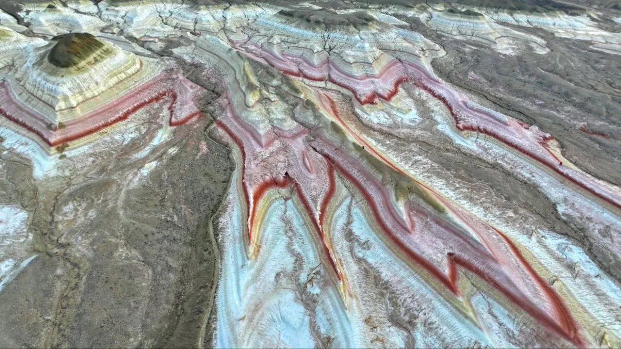
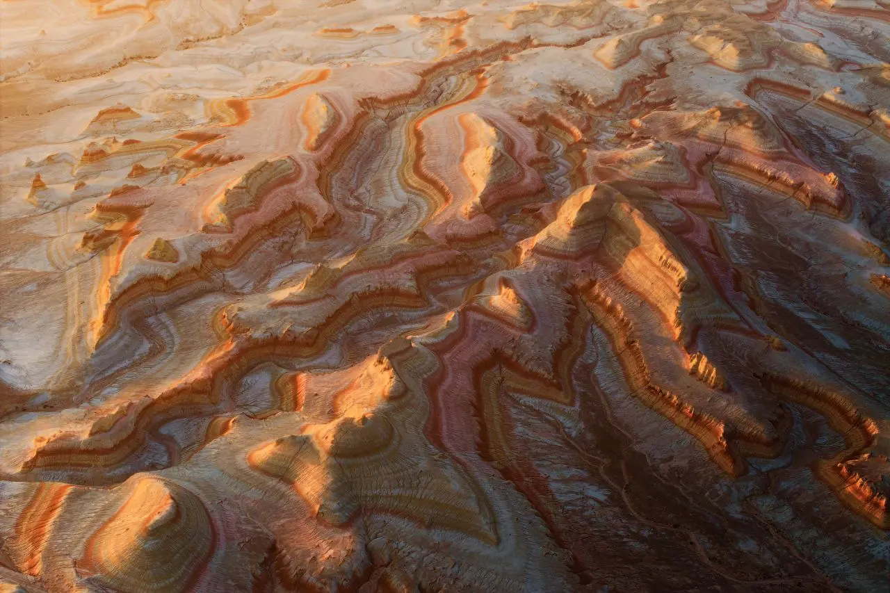
Layered Mangystau hills often combined with Tuzbair and Bozzhyra routes
Tuzbair often fits with layered hills, Bozzhyra, and longer southern Mangystau routes.
Drone controller used for aerial photography on a Mangystau salt landscape route
Drone and photo stops work only when wind, surface, and route timing are safe.

Route experience

How to visit Tuzbair safely

Tuzbair rewards flexible timing and disciplined driving. The best view is often from above, not from the middle of the salt surface.

01

Use the western chink viewpoint

The top of the western chink gives the cleanest overview of the salt flat, white cliffs, and changing surface. It is also safer than wandering too far into soft ground.

02

Treat the mud seriously

The risky zones are not always obvious. A dry crust can hide soft mud below, and wet sections can hold a vehicle fast. Walk only where the guide knows the track, barefoot or in waterproof boots when conditions allow.

03

Watch the season

Spring after rain is the best chance for the mirror effect. Summer is more likely to show dry crust and hard light. Both can be photogenic, but the route plan changes with the surface.

04

Fit it into a bigger route

Tuzbair is about 250 km from Aktau and roughly a 5-hour drive, with the last about 40 km on dirt track via the Aktau-Beyneu highway near Say-Utes / Otes village. It pairs well with Bozzhyra and Ustyurt.

Safety and packing notes

  • Do not drive across the salt flat unless the guide confirms a known safe track.
  • Expect no services near the viewpoint; bring water, sun protection, and wind layers.
  • Salt and mud can damage shoes and gear, so keep cleaning water in the vehicle.
  • Wind can make drone flights unsafe even when the sky looks clear.
  • Message for a tailored quote because surface conditions and route length affect fuel, timing, and vehicle planning.

Geology and route links

Tuzbair belongs to the same ancient-seabed story as the wider Ustyurt Plateau. The eroded arch formation in the cliffs and fossils below them make this more than a photo stop.

It works best on the 7-day tour or a private tour from Aktau where the driver can adjust timing around rain, crust, and wind.

FAQ

Tuzbair salt flat FAQ

Practical answers for planning a Tuzbair stop.

Can you drive across Tuzbair?

Generally no. The salt surface can hide mud, and vehicles can get stuck. Stay on known tracks and follow the guide’s instructions.

When does Tuzbair become a mirror?

The mirror effect is most likely after rain, especially in spring. In dry summer months the surface often becomes salt crust instead.

How far is Tuzbair from Aktau?

It is about 250 km from Aktau, roughly a 5-hour drive, with the last around 40 km on dirt track.

What should I wear at Tuzbair?

Wear shoes that can handle salt, mud, and wet ground. In some shallow-water conditions, barefoot walking or waterproof boots may be more practical.

Add Tuzbair

Plan Tuzbair with Bozzhyra and Ustyurt

Tuzbair is strongest when the route has room to adapt to surface and weather. See the 7-day Mangystau tour, then message us on WhatsApp for a tailored quote and safe route timing.

Message for Quote